
Illustration in progress
The ascent to Condat-lès-Montboissier reveals a terrain defined by dramatic verticality, rising through dense stands of beech and wild cherry to reach a panoramic plateau. From these heights, the silhouettes of the Auvergne volcanoes etch a jagged line against the horizon, providing a silent, monumental backdrop to the dispersed hamlets. The air here carries the scent of damp moss and ancient timber, a testament to the fifty-seven percent forest cover that envelops the commune’s granite foundations. This is a landscape of quiet intensity, where the transition from deep forest to open sky occurs with a sudden, breathtaking clarity.
At the heart of the village, the Église Saint-Pierre-aux-Liens anchors the community with its 15th-century Romanesque sobriety. The stone portal, weathered by centuries of mountain winters, bears intricate Christian motifs that speak to a refined medieval craftsmanship. Nearby, the architectural narrative shifts toward the Enlightenment and beyond at the Château de Liberty, an 18th-century estate whose interiors house classified murals of exceptional delicacy. The presence of the 15th-century Château de Meydat further reinforces the noble lineage of the region, its stout walls echoing the defensive necessities of a bygone feudal era.
Beyond the man-made structures, the Rocher du Diable provides a visceral link to the folklore that permeates these high-altitude woods. This geological anomaly, steeped in local legend, serves as a rugged counterpoint to the disciplined lines of the village’s civil monuments. Wandering the paths between the thirty separate hamlets, one encounters the rhythmic sounds of local luthiers and woodworkers, artisans who continue a tradition of precision fueled by the surrounding timber. The village offers a slow, tactile exploration of history, where the texture of grey stone and the density of the forest converge in a singular expression of the Livradois spirit.
Local profile
At a Glance
- Population
- 228
- Demonym
- —
- Altitude
- 591–880 m
- Forest
- 57.5%
residents
local residents
lowest to highest
commune coverage
Did You Know?
“The Rocher du Diable (Devil's Rock) stands as a silent witness to local folklore, a jagged geological curiosity that marks the rugged character of the landscape.”
Cultural Heritage
Protected historic monuments in Condat-lès-Montboissier
Château de Liberty
Condat-lès-Montboissier
Recent Wildlife & Flora Log
Nature observations recorded within 5km of Condat-lès-Montboissier.
Common Raccoon
Capsodes flavomarginatus (Donovan, 1798)
Bluebell
7-spot Ladybird
Anostirus purpureus (Poda, 1761)
Essex Skipper
Orange Moth
24-Spot Ladybird
Field-rose
Deptford Pink
Trails around Condat-lès-Montboissier
Discover physical challenges and natural beauty in the immediate vicinity.

Dore Loop
The Livradois-Forez Regional Natural Park, a land of grassland and woodland, promises a memorable journey between valleys and ridges.

Châteaux and Villages in Queen Margot Country (Loop No. 7)
This 60.5 km loop starts and finishes at Sauxillanges - Place de la Promenade, with 1062 m of ascent and an estimated duration of 4 hr 30 min.
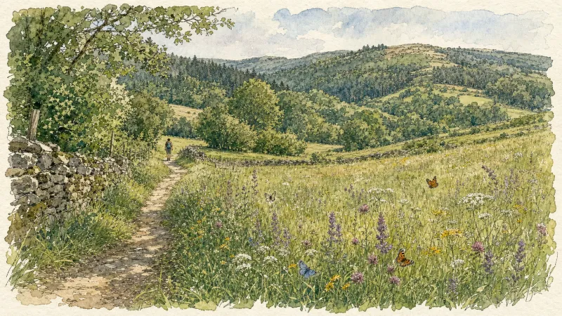
Circuit n°42 La Panoramique
Secteur Échandelys
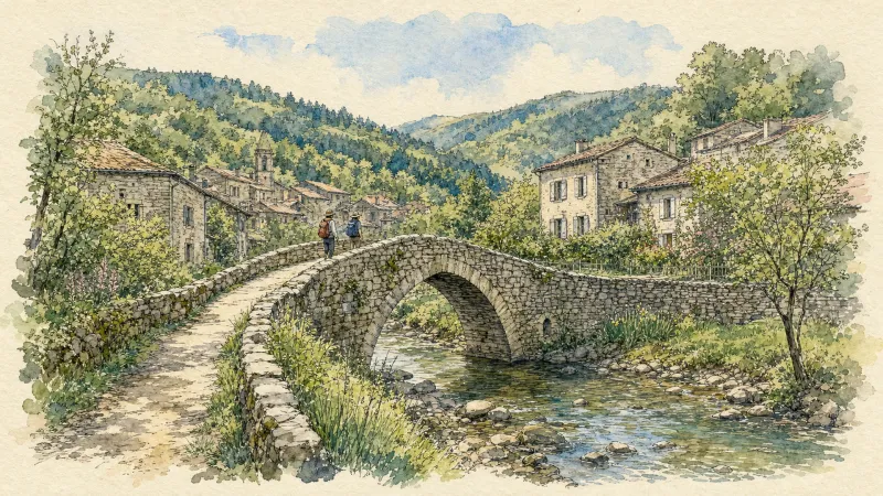
Circuit n°43 Belvédères des Deux Frères
Secteur Échandelys
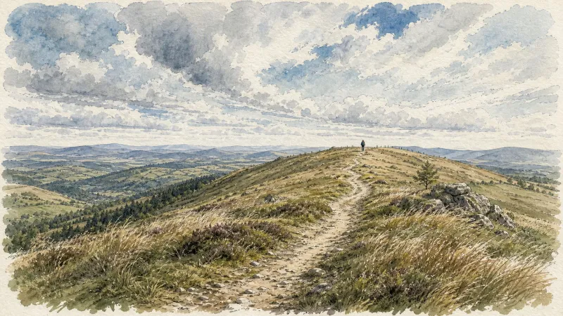
Château de Liberty
A route for lovers of châteaux, mills and great trees, and for understanding how the landscapes of the Haut-Livradois changed over the course of a century.
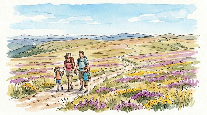
Montboissier
This 11.3 km loop starts and finishes at Place de l'église, Brousse, with 331 m of ascent and an estimated duration of 3 hr 45 min.
Explore Nearby
Complement your visit to Condat-lès-Montboissier by exploring these neighboring villages.
Brousse
A high-altitude landscape where the legacy of Cluny's most famous abbot meets the dark geometry of basalt and the austerity of Romanesque stone.
Saint-Quentin-sur-Sauxillanges
A high-altitude retreat defined by rugged granite outcroppings, a fortified Gallic history, and a Romanesque church bearing centuries-old ironwork.


