
Elevation Profile
684–860 m
Start: In front of the lakeside restaurant, follow the D105 uphill to the left, away from the village, for 400 m. Cross the Pissoux stream and take the first road left.
1. Continue on the path right to Le Sardier. Follow the edge of the hamlet and continue straight to Bouffoux. Ignore descending tracks and climb to the fountain.
2. Leave the hamlet on the track above the granite troughs. At the four-way junction, descend left to Mas du Bost.
3. At the entrance to the hamlet, turn right up a sunken lane. At the fork, keep left through the woods. After 300 m, at another junction in the forest, descend left.
4. At the stream, turn left towards the interpretation panels. Go around the wooded mound to regain the path. Cross another stream and continue, ignoring the descending path left. Pass a drinking-water reservoir and turn left to Les Faïdides.
5. Descend through the hamlet and leave on the road left of the fountain. Follow it back to the start.At a Glance
- Duration
- 2.0hrs
- Distance
- 5.9km
- Elevation +
- +213 m
- Elevation -
- -212 m
At a Glance
Live Weather
Departure / Arrival · Cunlhat
Live conditions
—
Feels like
—
Wind / gusts
—
Visibility
—
Updated: —
Field notes and images
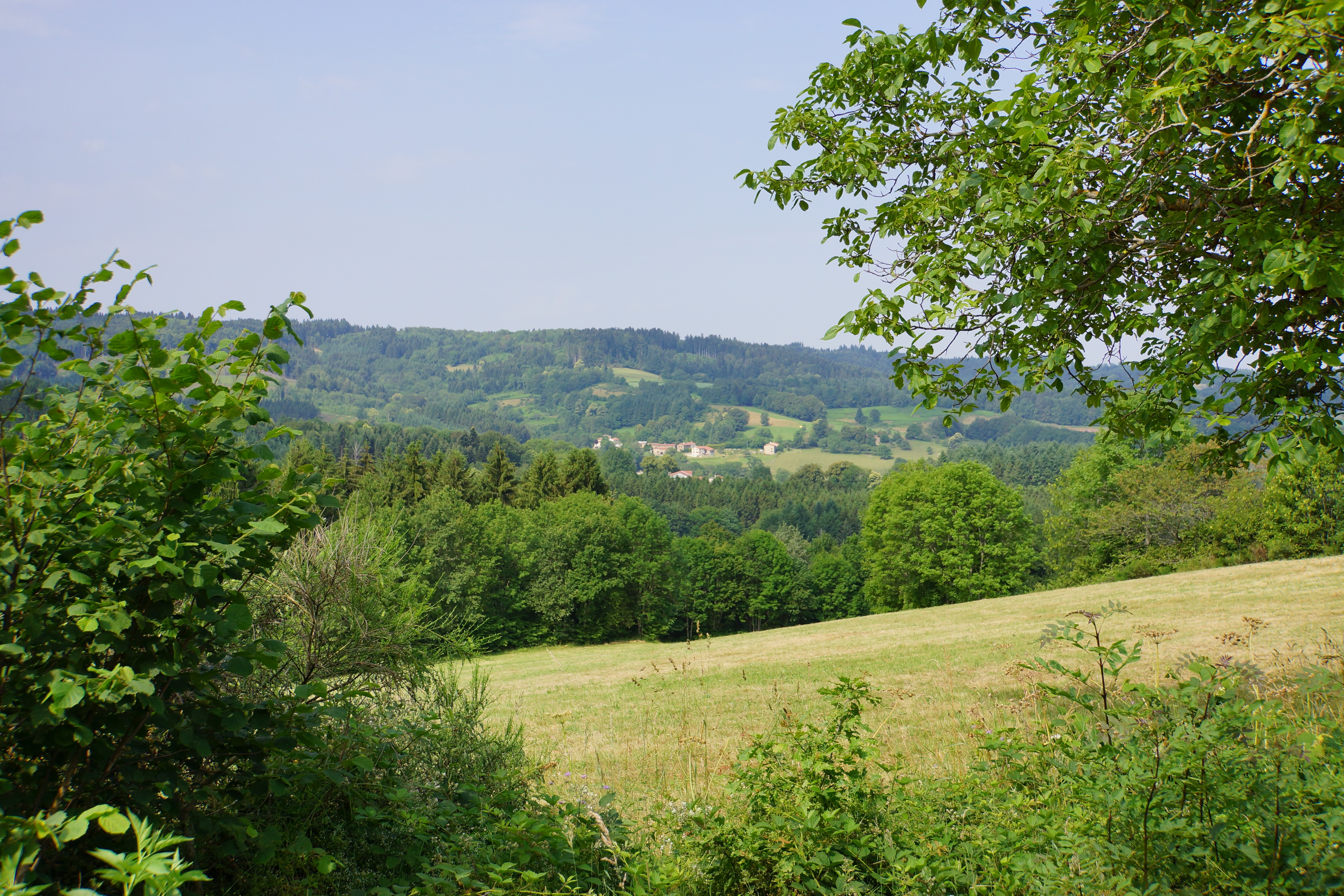
Vue depuis les Faidides
Captured by Maison du Tourisme Sébastien Giraud
Explore Nearby

Dore Loop
The Livradois-Forez Regional Natural Park, a land of grassland and woodland, promises a memorable journey between valleys and ridges.
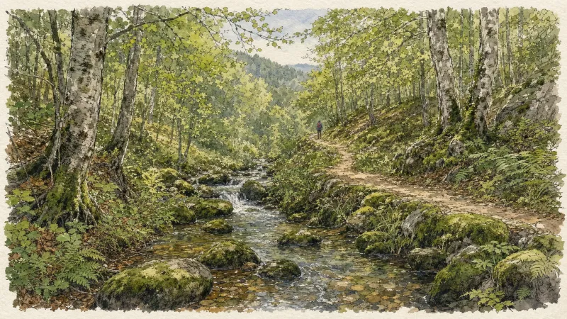
Circuit n°44 Les Cimes du Livradois
Secteur St-Amant-Roche-Savine
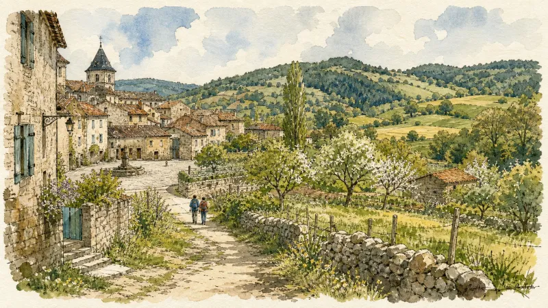
Circuit n°45 Le Tour des Sucs
Secteur St-Amant-Roche-Savine