
Elevation Profile
321–487 m
Start: Park in the town hall car park in Moissat. Descend towards the roundabout (sculptures by Jean Chauchard), then turn right onto the D10 and take the first street on the left (Chemin sous les Oies). At the end, turn right and enter Moissat-Bas. Take Rue de l’Ancienne Cure opposite (fine stone cross and former presbytery), turn right and then immediately left into Rue du Prieuré (houses with external covered galleries). Pass the Romanesque church (fine wall paintings beneath the porch).
1. Below, beside the stone cross (an optional out-and-back to the right leads to some fine houses), turn left onto Chemin des Serves. Take the first track on the right, then turn left at the T-junction. At the next junction, turn right and continue to Pont de la Planche. Cross the Litroux and continue left alongside the stream to the next junction.
2. Beside another bridge, turn right towards the former Goëlle agricultural estate (guest rooms). Pass it and turn left. At the fork, turn right (view of the village and Château de Ravel). At the crossroads of 4 tracks, turn right (view of the Glaine-Montaigut hill ahead and Moissat on the right).
3. At the next junction, turn right (view of Château de Ravel), then turn right again at the first houses in Ravel. Take the first narrow lane on the left (opposite the basketball court). Below the square, climb the steps to the church (view of the Chaîne des Puys and the Sancy massif, with an enamelled-lava interpretation panel about the history of houses with external covered galleries
and the Église Notre-Dame de l’Assomption). An optional out-and-back continues opposite to Château de Ravel: 30 min return.
4. Follow the main street (D20) to the right (a fine covered well is on your left). At the junction (Michelin signs), continue straight ahead. At the intersection of the D10 and D20, turn left (towards Pontaret-Billom); cross the Litroux on the bridge. Then turn right towards the tile factory. Ignore the road branching left and continue straight ahead.
5. At the fork, keep left (fine oak tree). Continue straight ahead (view of Château de la Molière on the left) and reach the D212 in the hamlet of Les Genestoux. Cross at the pedestrian crossing near the washhouse (fast-moving traffic) and continue opposite on the D135. At the fork, climb right to enter Glaine-Montaigut. Pass the cemetery to reach the covered market hall and church (fine Romanesque church).
6. Descend behind the church on the left. Follow the D135 to the right for 50 m and climb the track opposite. Turn onto the 1st track on the right and, at the next junction, continue opposite to the D306.
7. Follow it to the right for 20 m (view of Moissat), then immediately turn left to enter Chamoirat. Cross the village and continue straight ahead. At the hairpin bend (you can continue along the road to see the viewpoint
indicator), follow the track opposite between the trees. At the foot of the hill (castle ruins, view of Moissat and Ravel), descend to the right (view of Moissat and the Chaîne des Puys, Billom, Petit Turluron and Gros Turluron).
8. At the junction (interpretation panel: “Reignat en Billomois”), continue
descending (view of Reignat and Espirat ahead). Turn left beside the cemetery, then take the narrow lane on the right. Opposite the fortified village (interpretation panel), climb left towards the cross. Pass the town hall and turn right just after the church (interpretation panel). Pass the war memorial. In the centre of the village, beside the
fountain, descend left to the washhouse square.
9. Continue to the right of the washhouse and take the road to the right.
After 200m, turn onto the 1st track on the left, cross the D212 and continue along the track opposite. Take the 1st track on the left, follow the right-hand side of the Rivet stream and turn onto the driveable track on the left. Cross the D229 (warning: fast-moving traffic) and take the second track on the right.
10. At the junction (a stele with enamelled lava recounts the history of the parish of St Rémy d’Espezin), turn right, then left at the next junction. At the intersection, continue climbing towards Moissat-Haut. Leave Chemin du Puy on the right and, 300 m farther on, take Rue du Couvent on the left. Cross Route de Pironin and take Rue des Troubadours opposite, between the house and sculptor Jean Chauchard’s workshop.
11. At the end of the street, turn right onto Rue de Bellevue (view of the Chaîne des Puys and the Sancy massif on the left). Take Rue du Fort on the right, then turn left into Rue Saint Jean at the first junction. Pass the former water tower, then turn right at the end of the street. Leave Rue de la Forge on your left and pass to the left of the cattle stocks (used when shoeing cattle or treating their feet
) to reach the war memorial square (view of Château de Ravel ahead and Château de Moissat on the right). Descend opposite along Rue de la
Fontaine to the D229 (Route de Billom), then turn left to return to the town hall.
At a Glance
- Duration
- 4.5hrs
- Distance
- 17.3km
- Elevation +
- +262 m
- Elevation -
- -261 m
At a Glance
Live Weather
Departure / Arrival · Moissat
Live conditions
—
Feels like
—
Wind / gusts
—
Visibility
—
Updated: —
Field notes and images

A l'ombre d'un banc
Captured by © Denis Grudet/CC Entre Dore et Allier
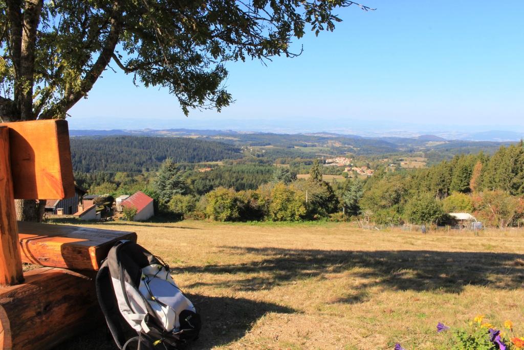
point de vue en Livradois-Forez
Captured by Maison du Tourisme
Explore Nearby
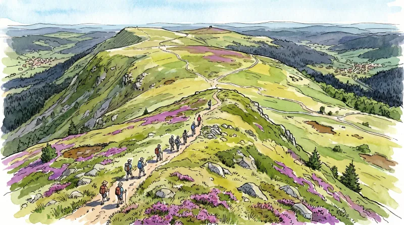
Livradois Circuit — The Châteaux of Livradois (Loop No. 4)
This circuit offers a journey through time, from the Gallo-Roman period to the age of knights.

Découverte de Randan et Maringues (circuit route n°28)
Discover this trail through the heart of Livradois-Forez.
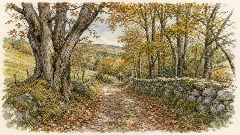
Entre Dore et Allier (circuit route n°1)
Discover this trail through the heart of Livradois-Forez.