
Elevation Profile
669–900 m
Start at the leisure centre. Climb towards Cunlhat and take the first road left. At the D225 turn left. After 100 m, leave the road for a track descending right and climbing to the Le Coin road.
(1) Take the uphill track opposite. At the top continue straight. By the house, follow the road left for 100 m and take the first track right.
(2) At the D225 climb right, then turn left towards Courtesseire. Keep left past the hamlet and continue on the track extending the road. Climb to the conifer edge, then descend left on a grassy track across a field.
(3) Cross La Vironne to the right. At the bread oven, enter woodland right. At the road turn right. Below Cammas turn left and reach a departmental road; take the road opposite climbing to Les Rouchoux.
(4) Cross Les Rouchoux, ignoring the road right. At the fork turn right then left above the houses of Chabrol. Beyond the hamlet the road becomes a track; continue straight.
(5) At Mas-du-Bost continue straight. At Les Faidides cross the road to the track opposite. Continue straight; near Les Bruneilles turn right. At the fork take the track left to a road.
(6) Follow the road left for 250 m. Cut the bend on a path left. Two hundred metres before a junction, turn left onto a grassy track. Cross a road and continue opposite to Olagnier.
(7) Cross the length of the hamlet and climb a paved track that becomes a path. At the junction turn left along the ridge. After 400 m, at the edge of the meadows, enter deciduous woodland left to reach Terrol.
(8) Pass the château and descend to the departmental road. Continue straight at the junction and take the first track left. At Croix Sainte-Anne continue opposite, keeping right.
(9) At the junction turn left to return to the rear of the leisure centre.
At a Glance
- Duration
- 4.5hrs
- Distance
- 14.9km
- Elevation +
- +397 m
- Elevation -
- -398 m
At a Glance
Live Weather
Departure / Arrival · Base de loisirs, Cunlhat
Live conditions
—
Feels like
—
Wind / gusts
—
Visibility
—
Updated: —
Field notes and images
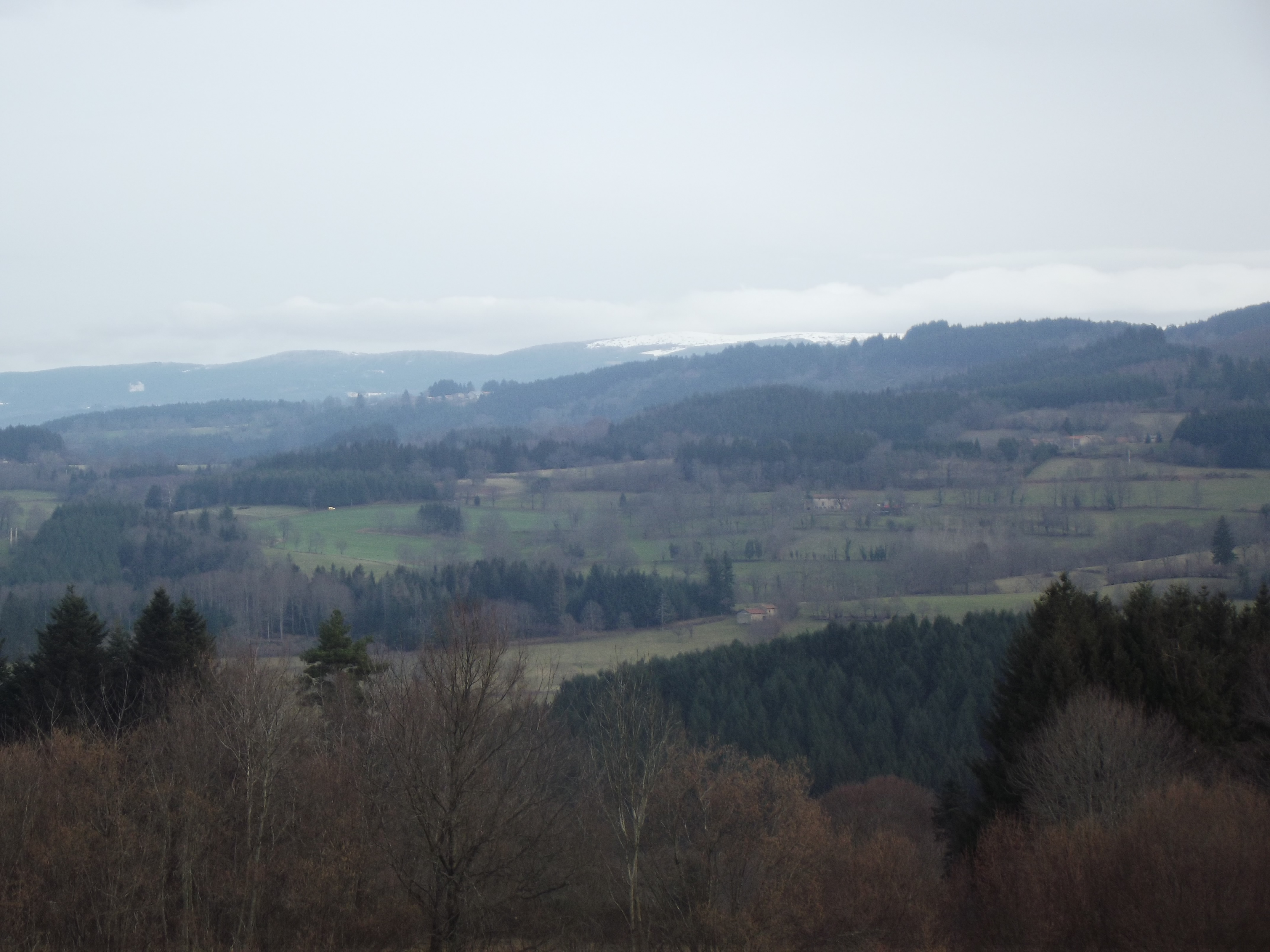
Le chemin de ronde
Captured by MDT
Explore Nearby

Dore Loop
The Livradois-Forez Regional Natural Park, a land of grassland and woodland, promises a memorable journey between valleys and ridges.
Circuit n°44 Les Cimes du Livradois
Secteur St-Amant-Roche-Savine
Circuit n°45 Le Tour des Sucs
Secteur St-Amant-Roche-Savine