
Elevation Profile
819–852 m
At the entrance to the forest track, take the wide dirt road which enters the woods. Cross the stream which passes under the path and continue to the wood storage area.
(1) Continue to follow the road on the left.
(2) After the description of the water bars, take at the junction on the left a narrow path in the undergrowth. Pass along a wetland and find the tarmac road.
(3) Follow it to the left to find the start.
At a Glance
- Duration
- 1.0hrs
- Distance
- 2.3km
- Elevation +
- +40 m
- Elevation -
- -39 m
At a Glance
Live Weather
Departure / Arrival · Piste forestière
Live conditions
—
Feels like
—
Wind / gusts
—
Visibility
—
Updated: —
Field notes and images
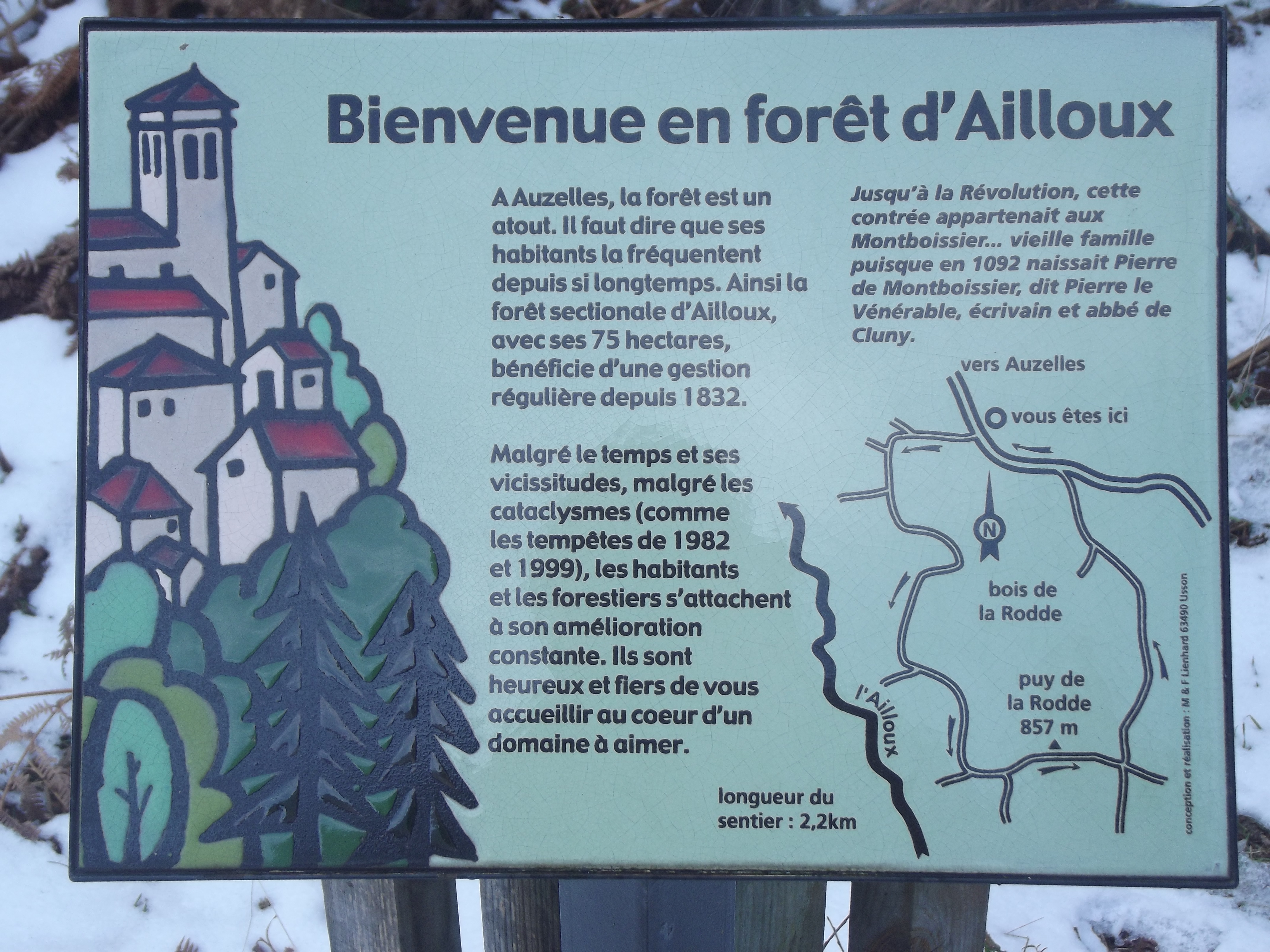
Bienvenue
Captured by MDT
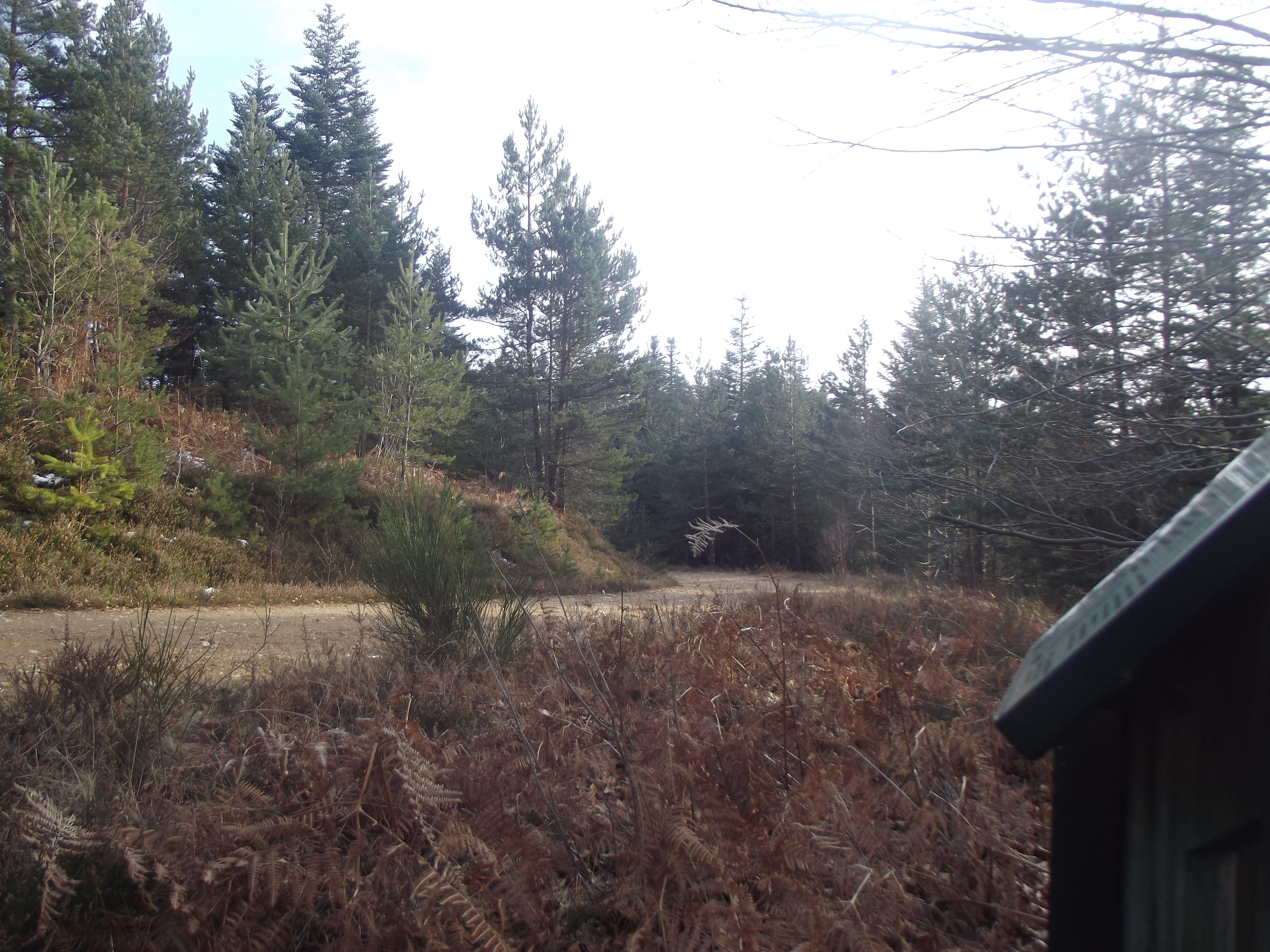
Forêt d'Ailloux
Captured by MDT
Explore Nearby

Dore Loop
The Livradois-Forez Regional Natural Park, a land of grassland and woodland, promises a memorable journey between valleys and ridges.

Circuit n°46 Le Val de Mende
Secteur Cunlhat
Circuit n°47 Tour de Cunlhat
Secteur Cunlhat