
Elevation Profile
1159–1243 m
Départ : Monter à droite du petit parking à travers la lande à myrtilles.
1. Après quelques mètres, prendre à gauche à la première intersection. Poursuivre sur ce chemin entre sous-bois et prairies jusqu’à un large croisement. Emprunter le chemin qui monte à
droite. Poursuivre tout droit jusqu’à une hêtraie en négligeant les départs de chemins sur la droite.
2. Traverser la large clairière par la gauche pour rejoindre une route forestière que l’on emprunte aussi à gauche. Poursuivre sur ce chemin jusqu’à une place de dépôt de bois.
3. Emprunter alors le premier sentier partant sur la droite. À la fourche, prendre de nouveau à droite. Poursuivre toujours tout droit dans le bois Chétioux pour déboucher sur la clairière traversée à l’aller.
4. Cette fois-ci, partir sur la gauche à la seconde intersection. Faire quelques mètres sur la piste forestière, puis tourner à droite sur un sentier dans le bois du Clovis. Continuer tout droit
jusqu’à une intersection et tourner à droite. Poursuivre sur cette large piste descendante, puis tourner sur un petit sentier à droite avant une courbe à gauche ; il conduit directement au
parking, après avoir franchi tout droit la dernière intersection.
At a Glance
- Duration
- 1.5hrs
- Distance
- 4.8km
- Elevation +
- +98 m
- Elevation -
- -93 m
At a Glance
Live Weather
Departure / Arrival · Maison du Gat, Eglisolles
Live conditions
—
Feels like
—
Wind / gusts
—
Visibility
—
Updated: —
Field notes and images
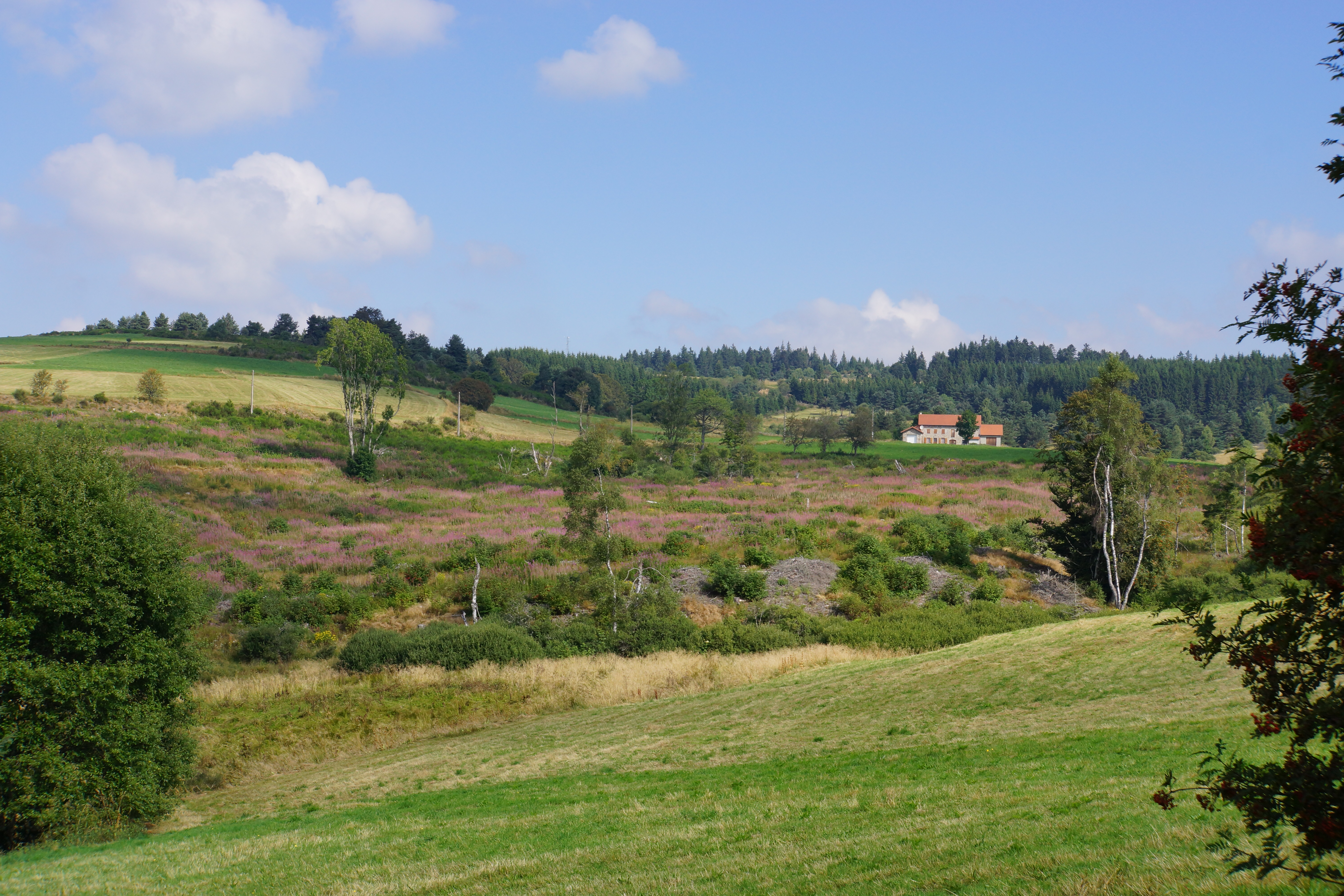
Vue sur Chougoirand
Captured by Maison du Tourisme Sébastien Giraud
Explore Nearby
Around the Pradeaux dam
Departure: From the Col des Pradeaux, take the path up to the dam. At the next crossroads, take the path uphill on the right. Before the reservoir, take the path on the right and keep the main path until you reach the woods. Cross the woods opposite and continue opposite until the crossroads of 4 paths. 1. Take the path opposite and continue to the dam. Follow the dam on the right. Towards the “tail” of the dam, take a path going down to the left. Continue to follow the dam on the right and cross the 2 wooden footbridges. 2. At the exit of the second footbridge, turn left on the path and continue to follow the dam for 600m. Cross a small stream on the 3rd footbridge, continue opposite for 300m before going up a path on the right to find the path. 3.Take it on the left and continue to pass next to the dam. At the next crossroads, turn left and keep the main path going down to the Col des Pradeaux.

Boucle Dore
Le Parc Naturel Régional Livradois-Forez, pays de l'herbe et de l'arbre, vous promet un séjour inoubliable entre vallons et crêtes.
Circuit bleu - Porte des Pradeaux
Discover this trail through the heart of Livradois-Forez.