
Elevation Profile
1114–1474 m
At a Glance
- Duration
- 1.0hrs
- Distance
- 4.1km
- Elevation +
- +3 m
- Elevation -
- -363 m
At a Glance
Live Weather
Departure / Arrival · Chalmazel (station de ski)
Live conditions
—
Feels like
—
Wind / gusts
—
Visibility
—
Updated: —
Important Advice
Enduro Course Definition
An Enduro course offers a mountain bike circuit with generally descending profiles interspersed with short climbs. The departure and arrival locations are separate.
Enduro courses are set up on paths/trails in agreement with the landowners. The driving rules are the same as for mountain bike trails (control your speed and trajectories, priority for the pedestrian).
It is a discipline that requires very good technique and significant physical commitment from the pilot. Protection strongly recommended: Wearing a Jet AM or Full helmet, back protector or approved bag, knee pads and long gloves.
Classification and Markup
Enduro MTB routes are identified by 4 colors, each corresponding to a different degree of difficulty:
Green: Very easy route
Blue: Easy route
Red: Difficult course
Black: Very difficult course
The specificity of the activity requires particular marking. The background of the marker indicates the difficulty of the route while the triangle and the two circles are white.
All circuits are passable by VTTAE
Practical information
Courses N°75, 76 and 77 depart from the Chalmazel ski resort. They require opening the chairlift to access the start at the top of the chairlift. Possibility of practicing them outside the opening of the chairlift from the Col du Béal with a 4km connection. In this case, you will have to provide your own shuttles between the Chalmael station and the Col du Béal or go up by mountain bike following circuit No. 26.
Field notes and images
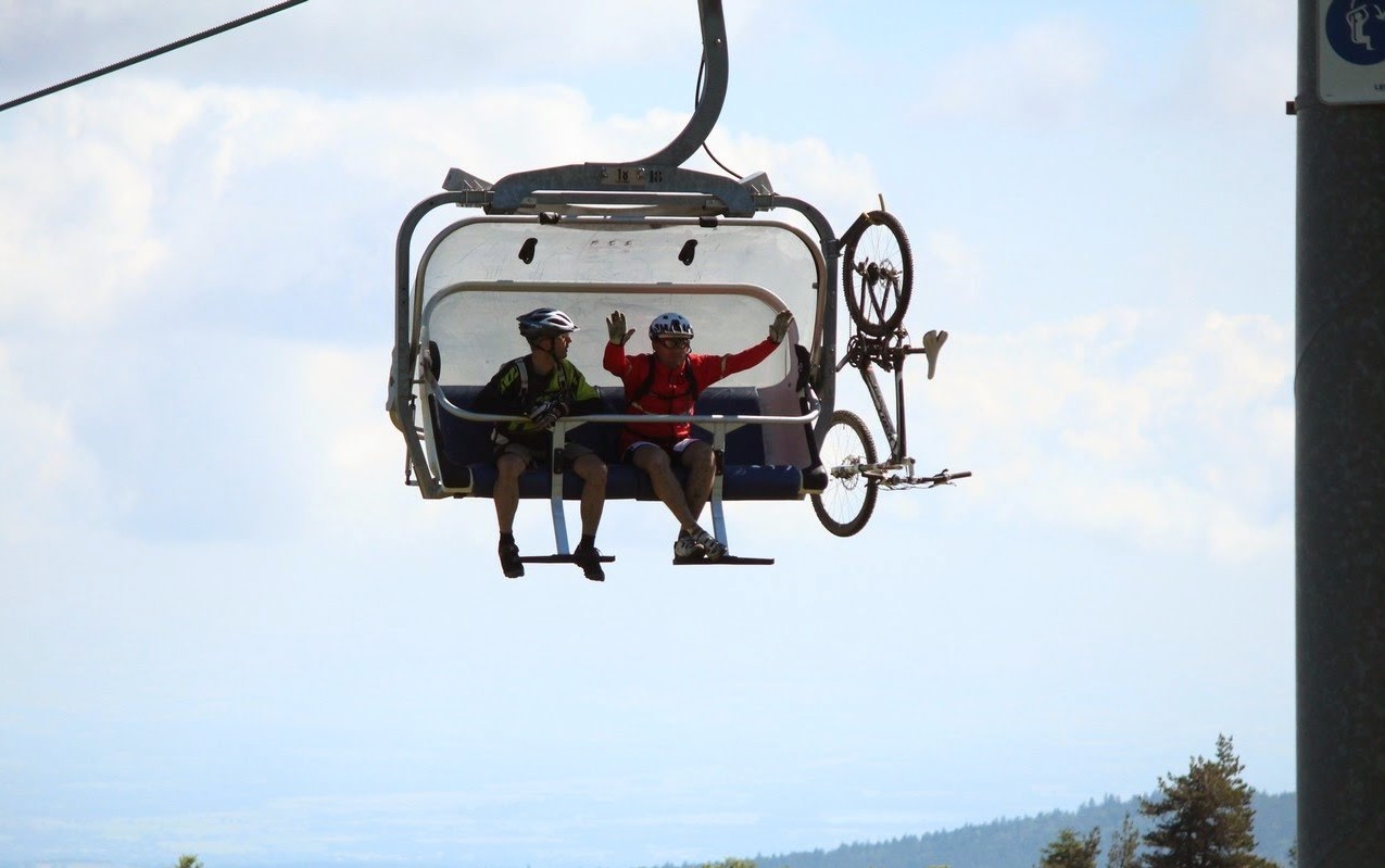
Remontée à Chalmazel
Captured by Centre VTT Bois Noirs
Explore Nearby
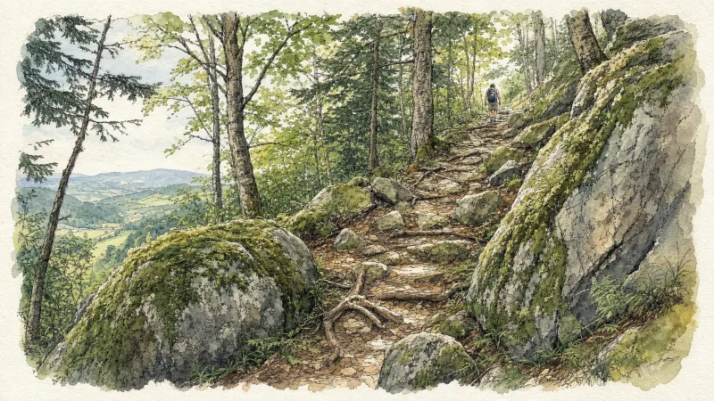
2 days of bivouac on Hautes-Chaumes
Between the jasseries, the peat bogs and the panoramas of the Alps on a clear day, here is a bivouac on the volcanic ridges of Livradois-Forez immersed in nature and accessible by train.

Dore Loop
The Livradois-Forez Regional Natural Park, a land of grassland and woodland, promises a memorable journey between valleys and ridges.
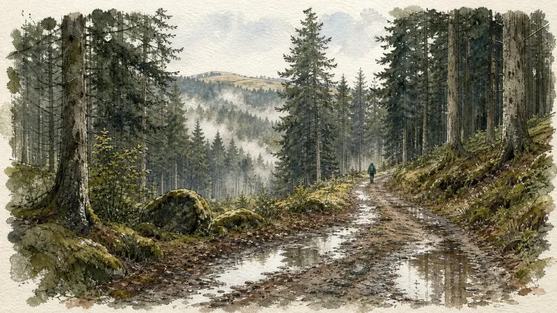
Circuit n°16 Col du Beal
Discover this trail through the heart of Livradois-Forez.