
Elevation Profile
573–691 m
Departure - Take the direction of Coupe-Gorge then go down left towards Solignat. In Solignat, leave the tarmac path and go down left to reach a crossroads planted with a chestnut tree at La Chapelle-sur-Usson (Romanesque church of Saint-Julien; panorama of the Cézallier mountains).
1 - Continue straight ahead to arrive at the wash house at the crossroads at the entrance to Perrier.
2 - Take the center to enter the village. 10 m before the water point on the left, go down to the right along a tarmac path. At the wastewater treatment plant, continue to descend to the right and follow the Pendillières stream overlooking it; cross the Mines stream by bridge to go up to the D703.
3 - Take it on the right for around 800 m. Go up a path on the left which joins a tarmac road. Take it on the right for 100 m.
4 - Cross the D703 again and go down a grassy path opposite. Facing an old well, go left. At Les Martres, cross a tarmac path to take the road opposite (old fountain from 1889). At the end of the village, turn off onto a path on the right below the D75 road. At Solignat, go up the path previously taken to the left to reach Coupe-Gorge and the car park.
At a Glance
- Duration
- 2.0hrs
- Distance
- 5.9km
- Elevation +
- +168 m
- Elevation -
- -168 m
At a Glance
Live Weather
Departure / Arrival · La Chapelle-sur-Usson
Live conditions
—
Feels like
—
Wind / gusts
—
Visibility
—
Updated: —
Field notes and images
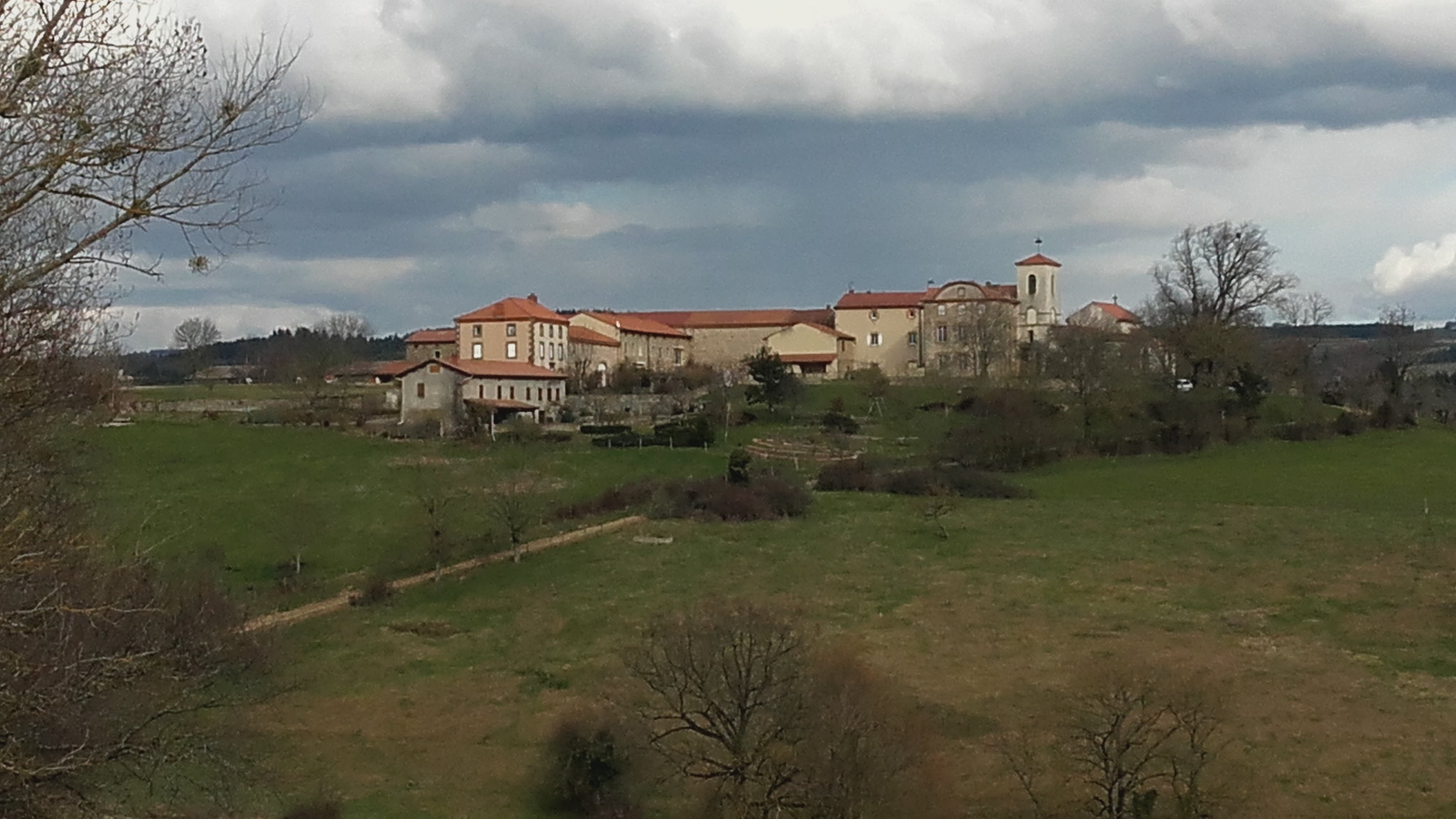
la chapelle sur Usson
Captured by Beaulieu 63570