
Elevation Profile
325–483 m
Départ : place de la Victoire, devant l’office de tourisme. Prendre la rue de la République sur votre droite et sortir par la porte Dulac. Traverser le boulevard et suivre la rue du Maréchal Joffre jusqu’au square du Marchadias (belle croix). Prendre le chemin des écoliers qui monte à l’institution Saint-Pierre (Collège) (route non goudronnée) Longer le parc par la droite puis, suivre le chemin de Puy Fourchy sur votre gauche (chemin non goudronné). Continuer jusqu’à une route.
1. Tourner à gauche sur 130 m puis prendre la route à droite pour aller à Fayon. Poursuivre sur le chemin de terre pendant un bon kilomètre. A la route goudronnée, tourner à droite. Faire environ 500 m (point de vue sur Pierre-sur-Haute, Sermentizon, Sauviat, Augerolles, Vollore-Ville et Tours sur Meymont).
2. Prendre la route à droite puis, 200 m plus loin, encore à droite pour rejoindre le hameau de Courtesserre. Suivre la rue principale et, dans le hameau, suivre la route à gauche en direction de la Bouchisse (possibilité d’aller voir l’église de Courtesserre sur votre droite). Dans le village, laisser le premier chemin à droite et prendre celui de la vallée (à gauche).
3. Juste après le ruisseau, tourner à droite. Suivre toujours le même chemin puis, au fond, vers le ruisseau, prendre à droite vers le village de Laudant. A l’élevage de pintades, prendre à droite puis, 100 m plus loin, à gauche. A la croix en granit, poursuivre tout droit.
4. Traverser la ferme de Vaure (point de vue sur les monts du Forez, Thiers et Courpière). Suivre le chemin étroit tout droit pour arriver à la D 7. La traverser puis, descendre par la rue des Lilas. Prendre à gauche l’avenue du Grand Pan puis, à droite, la rue du 8 mai 1945. Ne pas suivre la rue Morin Fournioux à droite mais continuer tout droit par la rue du Maréchal Foch pour passer devant l’école. Traverser le boulevard, la Porte des Minimes, puis la rue Chamerlat. Vous retrouvez la rue de la République et l’église sur votre gauche.
At a Glance
- Duration
- 2.5hrs
- Distance
- 9.8km
- Elevation +
- +233 m
- Elevation -
- -233 m
At a Glance
Live Weather
Departure / Arrival · Courpière
Live conditions
—
Feels like
—
Wind / gusts
—
Visibility
—
Updated: —
Field notes and images
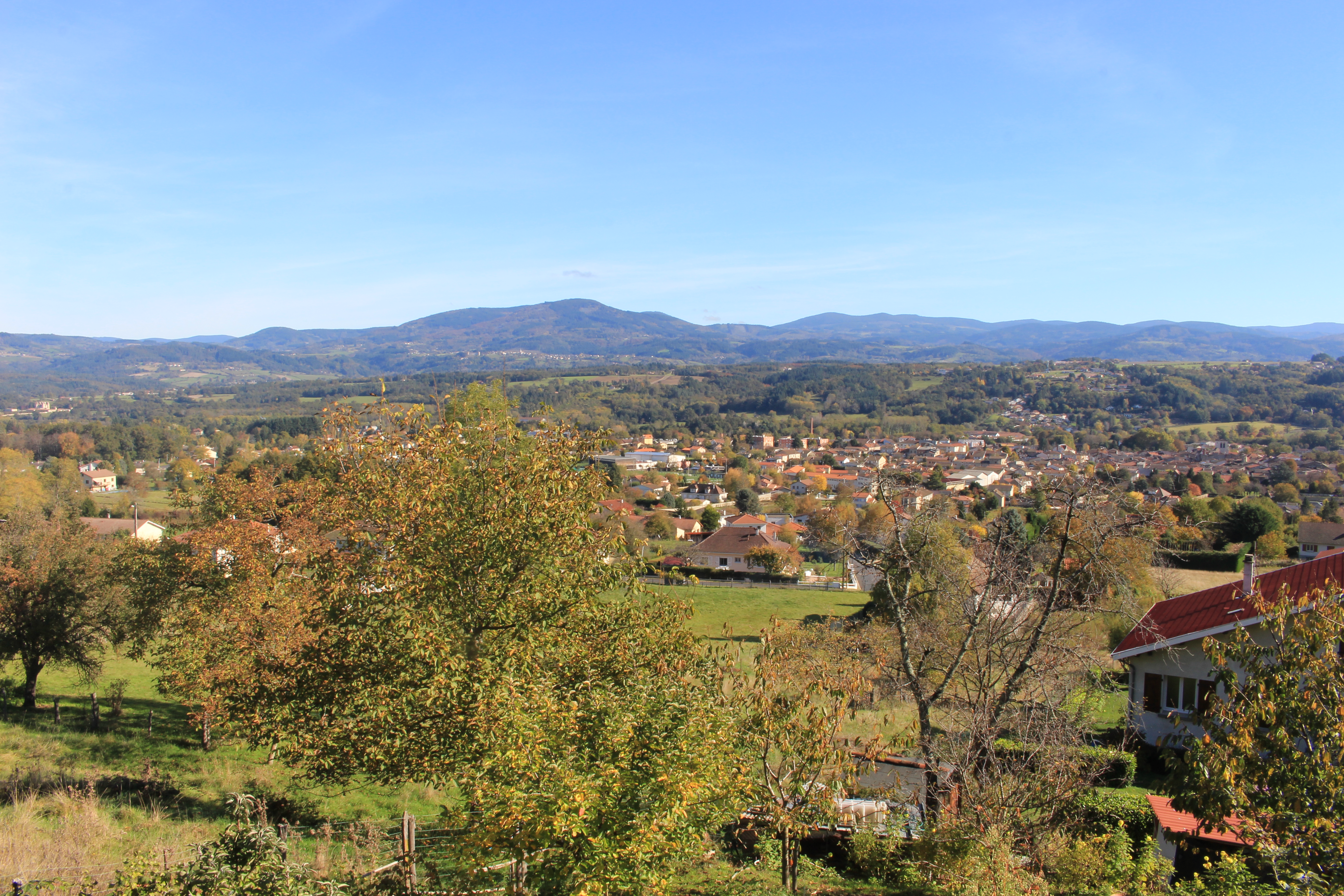
Vue sur Courpière
Captured by Maison du Tourisme Sébastien Giraud
Explore Nearby

Around the Couzon valley (circuit n°8)
Very nice, varied marked circuit, which alternates descents and climbs on paths presenting several technical passages (deep ruts, slopes, small screes). In particular, you should be particularly vigilant during the first descent between Ollières and the Mégain bridge, especially if you have not had the opportunity to warm up a little beforehand. The circuit then runs along the western part of Lake Aubusson before passing near the Notre-Dame d'Espinasse chapel built just above a miraculous spring from which water springs which can treat and cure certain skin diseases such as eczema...
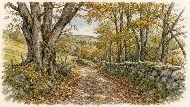
Fairy Walk
Departure: church square. Walk past the church then follow the road to the railway line. Before this, turn right and follow the street for 500 m. Head towards the D 906. Cross it to take the road opposite, be careful of fast traffic (direction la Brousse). Turn left and join La Brousse. 1. In the hamlet, take the path on the left, just after the fountain. Continue on this same path to the village of Chaumies (viewpoint over the Forez mountains). At the first houses, take the path opposite. The path becomes a road that we always follow. At the last house, leave the road and take the path opposite. Leave the first path on the right which goes down into the woods. 2. At the top of the hill, at the crow's feet, take the path on the right (viewpoint). Go down towards the stream and continue along the same path. Arriving at the road, turn right towards the hamlet of l'Eschalier. At the first houses, turn left to join the road. Cross it to take the small road opposite. 3. At the transformer, turn right onto the road then, 150 meters further, follow the D44 on your left for approximately 1.5 km. 4. At the cross, continue to the right on the D 308 and join the D 906 (be careful of fast traffic). Cross it to reach the church square in Néronde-sur-Dore.
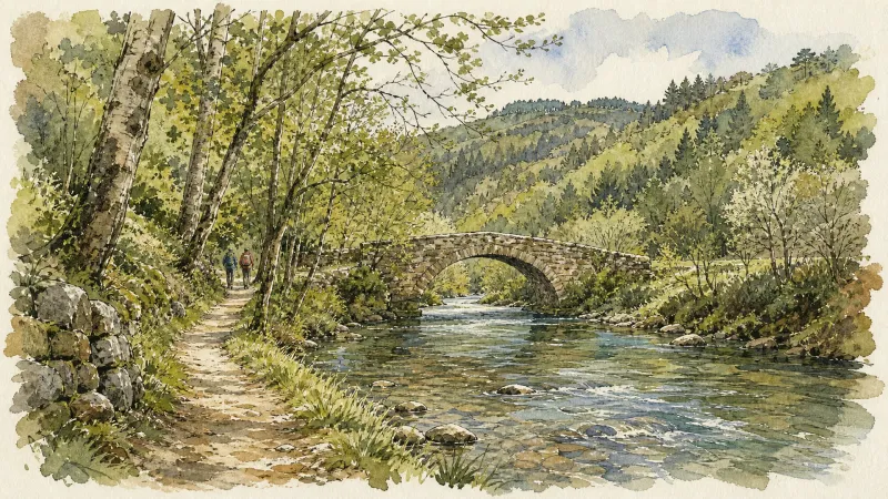
Happy people walking
Departure: church square. Head towards the D 906. Cross it to take the road opposite (D 308 - Be careful with fast traffic). At the cross, continue straight ahead and reach Bel-Air. In the hamlet, go down the grassy path opposite. 1. Take the D 44 on the left; cross the bridge and, 100 m further, go up the small road on the right. Cross Genestoux along the castle and keep the same road. The road becomes a path that we follow straight on. Always follow the main path. At the tarmac road, turn left and join Les Pierres. 2. In the hamlet, pass between 2 houses then turn left onto the road towards Gaillard. In the bend, continue on the road to the right. Cross the town; at the exit, just after the last house, turn right. At the entrance to Coussat, before the first house, take the path on the left. Go down to the bottom of the village and take the path which goes to the right between the houses. At the first intersection, turn left. At the next intersection, continue straight on then, at the next one, continue straight on. 3. At the road, turn left then, 30 meters further, turn right. In the hamlet of Bournoux, continue straight on. At the bread oven, continue to the right. At the bottom of the village, at the road, turn right towards Coulaud. Before the first houses, at the “Give way” sign, turn left. Follow this path (steep climb) to the hamlet of Provarel. Cross the hamlet then, after the last house, leave the road which goes up to the right and take the path on the left (viewpoint over the Puyde-Dôme and the Puys chain). 4. At the hamlet of C h e i x, continue straight on the path which goes down, then up. At the road, turn right. 50 meters further, at the transformer, take the road on the left. Follow the D 44 on the left. 200 meters further, leave the road and take a path on the right in the fields. At the crossroads, follow the path on the right. In the hamlet, take the road on the right. 5. 500 meters later, at the crossroads, turn right to cross La Brousse (bread oven) and continue straight on the tarmac to join the D 906 (be careful with fast traffic). Cross it to take the street opposite. Walk alongside the “Les Toits de la Dore” housing estate, the cemetery and continue to the railway line. At the railway line, turn left and reach the church of Néronde sur Dore.