
Höhenprofil
998–1083 m
Departure: Leaving Place de Medeyrolles, go down towards
the church and enter the alley on the right opposite the fountain. Pass between the houses and continue on the path. Follow the road on the left for 450 m (viewpoint of the Forez massif and the town of Ambert). Before Firminge, turn off onto the path which goes up to the right (possibility of going back and forth to the hamlet and its chapel).
1. At the intersection, continue straight ahead to avoid Roussy. Follow the D111 on the left for 250 m. At a bend, leave the road to take the path opposite which climbs through the woods. An der Kreuzung gehen Sie geradeaus weiter bis zur Straße. Continue to the right for 200 m and take the path on the left (viewpoint over the Dore valley). Then turn right to join the D111 again.
2. Cross and follow the path opposite which goes into the woods. 20 m further, turn left. Überqueren Sie den Bach Arzon und steigen Sie weiter auf. At the top of the hill, leave the road on the right leading to Chastel to follow the D111 on the right for 50 m.
Leave it on the right to go down to La Garde (viewpoint of the Monts du Velay on the right). Durchqueren Sie diesen Weiler.
3. At the wrought iron cross, go right. Continue on this
road for approximately 1.5 km until Varagnat. Then turn right
and follow the path. Cross the Arzon stream again before entering the woods.
4. Take the track on the left and follow it for 1.2 km. At the intersection, keep the same track going on the right.
5. At the crossroads, turn right and, 10 m further on, turn left. Follow the road to the right to enter the village of
Medeyrolles.
Auf einen Blick
- Dauer
- 2.5Std.
- Entfernung
- 8.9km
- Aufstieg
- +206 m
- Abstieg
- -203 m
Auf einen Blick
Live-Wetter
Start / Ziel · Medeyrolles
Aktuelle Bedingungen
—
Gefühlt
—
Wind / Böen
—
Sichtweite
—
Aktualisiert: —
Notizen und Bilder
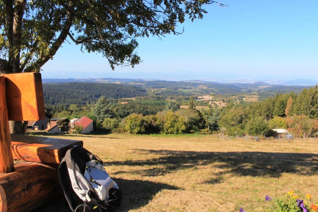
point de vue en Livradois-Forez
Captured by Maison du Tourisme
Region erkunden

Boucle Dore
Le Parc Naturel Régional Livradois-Forez, pays de l'herbe et de l'arbre, vous promet un séjour inoubliable entre vallons et crêtes.
Circuit n°10 Cols du Dansadoux et de Pramort
Entdecken Sie diesen Weg im Herzen des Livradois-Forez.

Circuit n°12 Grand Tour en Vallée de l’Ance
Entdecken Sie diesen Weg im Herzen des Livradois-Forez.